Andes Resorts See Midweek Snow Before Weekend Storm Risk
Portillo and Valle Nevado could receive up to 20 centimeters before Thursday.
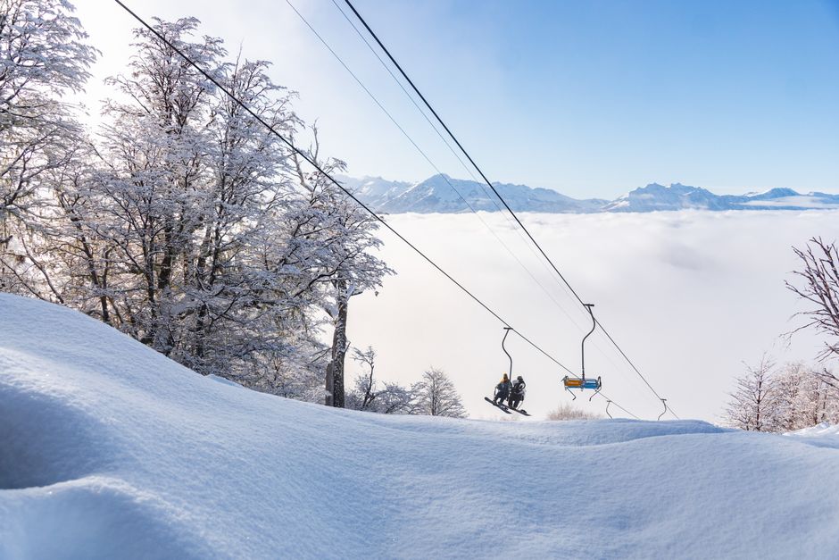
Ski areas in the central Andes have a clearer snowfall window through Wednesday, followed by a potentially bigger but less predictable system late in the week. Portillo and Valle Nevado are forecast to collect 14 to 20 centimeters, while Nevados de Chillán may get 9 to 13 centimeters. Snow should reach below the upper resort bases as precipitation intensifies, although early flakes at lower elevations could be heavier and wetter.
The next sequence begins with light snow near Valle Nevado on Sunday, followed by a more concentrated burst across the central Andes Monday. Another round arrives Wednesday and fades early Thursday. That midweek event has the strongest agreement among forecast models, making it the more dependable window for lift-served skiing.
A wider storm pattern could affect central Chile southward toward Corralco and the Bariloche region from Friday through Sunday. Forecasts broadly point to precipitation, colder conditions and stronger winds, but differ on totals and duration. Colder air may produce lighter snow, while wind could alter exposed slopes and temporarily disrupt lifts. The calendar also matters: Las Leñas plans to close lifts Monday, Chapelco lists Wednesday as its season finale, and Nevados de Chillán already stopped skiing September 20.
- Las Leñas plans its final lift day for Monday.
- Chapelco’s scheduled season closing is Wednesday.
- Nevados de Chillán stopped ski operations September 20.
- More Andes snow may arrive early next week.
Summarized from the reporting above. Read it for the full story.
Winter weeks, altitude, and a fire at the end of the day. Tell us what the trip should feel like and we'll shape complete options you can compare.
Ask 4Vacations →

Share this story